ICTpost News Network
The commuters rely on GPS technology to get themselves where they need to go in the shortest amount of time. During massive storms, these GPS signals can be mangled by storm conditions. Now, scientists have figured out how to measure wind speeds based on these disruptions, according to a new study in the journal Radio Science.
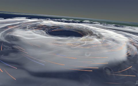
Improved wind speed measurements could help meteorologists better predict the severity of storms and where they might be headed, said Stephen Katzberg, a Distinguished Research Associate at the NASA Langley Research Center in Hampton, Va., and a leader in the development of the new GPS technique. On a global scale, experts hope to use the new measurement method to better understand how storms form and what guides their behavior.
Imagine you blow on a hot bowl of soup,? explained study co-author Stephen Katzberg, a research associate at the NASA Langley Research Center. The harder you blow, the bigger the ?waves? are in the bowl.
The radio wave bounces off the waves, Katzberg continued. ?As the surface gets rougher, the reflections get more disturbed and that?s what we measure.
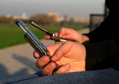
Using GPS receiver chips like those found in smartphones, the scientists were able to collect data while on board storm hunting aircraft ? referred to as Hurricane Hunters. On the plane, a computer compares signals coming from satellites above to the reflections from the sea below and calculates an estimated wind speed.
This method is much cheaper than the current method that measures hurricane wind speeds using 16-inch tube called a dropsonde, which is filled with instruments, attached to small parachutes and dropped from airplanes. Each non-reusable device records pressure, humidity, temperature and wind speed and costs around $750.
While dropsondes provide 10 times more precise wind speed measurements than the GPS method, they can be cost prohibitive at times ? leading to limited use during each storm and forcing meteorologists to estimate wind speeds within the gaps. Researchers currently use an instrument known as a dropsonde to measure the storms (the dropsondes contain tools that measure the storm as the device descends though a hurricane). They are extremely accurate when measuring wind speed1.1 miles per hour but they are expensive ($750 each) and can only be used once.
Not enough dropsondes are used to measure and map entire hurricane systems, and that is why the GPS signals are useful. Although their accuracy is around 11 miles per hour in comparison to the dropsondes 1.1, the GPS signal can continue non-stop and fill in the gaps of data between dropsonde drops.
According to Katzberg, the new GPS method can continuously gathering information on the storm. The NASA scientist said he hopes the new system can supplement the dropsonde system and give a more comprehensive view of a major storm.
You were already going to have these GPS systems onboard, so why not get additional information about the environment around you, Katzberg said.
“Those signals are extremely powerful and easy to detect. These satellites cost hundreds of millions or even billions of dollars, but our system only costs a few hundred. We are taking advantage of the expensive infrastructure that’s already there.”


